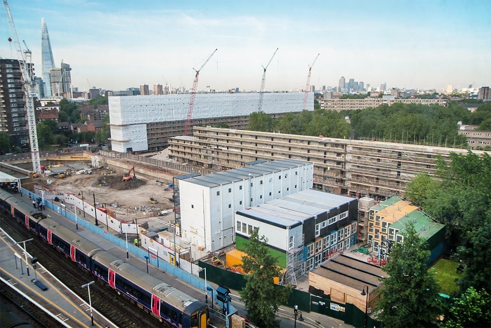
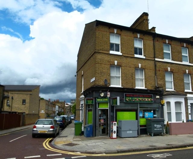
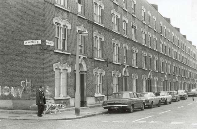
Amelia Street, SE17
| Amelia Street, SE17 |
| HOME | · | ARTICLE | · | MAPS | · | STREETS | · | BLOG | · | CONTACT US |
| MAP YEAR: | 1750 | 1800 | 1810 | 1820 | 1830 | 1860 | 1900 | 1950 | 2024 | Show map without markers |
| TIP: To create your own sharable map, right click on the map | ||||||||||
| Citation information: | Southwark streets – The Underground Map |
| Further citations and sources |
| Click here to explore another London street We now have 666 completed street histories and 46834 partial histories Find streets or residential blocks within the M25 by clicking STREETS |
| CONTRIBUTIONS TO THE LOCALITY |
  Tim Atkins | Wordpress comment (March 12, 2021) I lived in Amelia street from 1950 until 1959 and have fond memories of playing hide and seek, tin tan tommy, hop scotch, rounders, and skipping etc. in the road as there was only one or two cars parked down there then. Coal for your fire and milk were delivered by horse and cart many of which were, I believe, stabled in the railway arches accessed form this street. I was allowed to feed them occasionally with a raw carrot. I went to St Johns Larcom street school and also sang in the choir in the church. I spent a lot of time in Manor place swimming baths and on leaving there would cross the road and buy a bag of chips for 4d (1 1/2 pence in todays money) As I got older I was allowed to make my way to Kennington park or buying a 1 penny ice lolly on route, sometimes I went to East street market and often bought an icecream cone at Rossy's on the corner of the Walworth road. The market was busy then and it was good to hear the stallholders shouting out their wares. Other times I would go to the Imperial war museum or catch a bus to the Tower of London or Trafalgar square and feed the pigeons. Looking back it appears life for children then was better as they could be more adventurous while remaining safe. This comment was posted on The Underground Map blog. Clicking the link will take you to the blog page |
  Johna216 Added: 9 Aug 2017 16:26 GMT | Thanks! I have recently started a web site, the info you provide on this site has helped me greatly. Thank you for all of your time & work. There can be no real freedom without the freedom to fail. by Erich Fromm. eeggefeceefb Reply |
| LATEST LONDON-WIDE CONTRIBUTIONS TO THE PROJECT |
 Tony Whipple Added: 16 Apr 2024 21:35 GMT | Frank Whipple Place, E14 Frank was my great-uncle, I’d often be ’babysat’ by Peggy while Nan and Dad went to the pub. Peggy was a marvel, so full of life. My Dad and Frank didn’t agree on most politics but everyone in the family is proud of him. A genuinely nice, knowledgable bloke. One of a kind. Reply |
 Theresa Penney Added: 16 Apr 2024 18:08 GMT | 1 Whites Row My 2 x great grandparents and his family lived here according to the 1841 census. They were Dutch Ashkenazi Jews born in Amsterdam at the beginning of the 19th century but all their children were born in Spitalfields. Reply |
Wendy Added: 22 Mar 2024 15:33 GMT | Polygon Buildings Following the demolition of the Polygon, and prior to the construction of Oakshott Court in 1974, 4 tenement type blocks of flats were built on the site at Clarendon Sq/Phoenix Rd called Polygon Buildings. These were primarily for people working for the Midland Railway and subsequently British Rail. My family lived for 5 years in Block C in the 1950s. It seems that very few photos exist of these buildings. Reply |
  Steve Added: 19 Mar 2024 08:42 GMT | Road construction and houses completed New Charleville Circus road layout shown on Stanford’s Library Map Of London And Its Suburbs 1879 with access via West Hill only. Plans showing street numbering were recorded in 1888 so we can concluded the houses in Charleville Circus were built by this date. Source: Charleville Circus, Sydenham, London Reply |
Steve Added: 19 Mar 2024 08:04 GMT | Charleville Circus, Sydenham: One Place Study (OPS) One Place Study’s (OPS) are a recent innovation to research and record historical facts/events/people focused on a single place �’ building, street, town etc. I have created an open access OPS of Charleville Circus on WikiTree that has over a million members across the globe working on a single family tree for everyone to enjoy, for free, forever. Source: Charleville Circus, Sydenham, London Reply |
Charles Added: 8 Mar 2024 20:45 GMT | My House I want to know who lived in my house in the 1860’s. Reply |
 NH Added: 7 Mar 2024 11:41 GMT | Telephone House Donald Hunter House, formerly Telephone House, was the BT Offices closed in 2000 Reply |
Paul Cox Added: 5 Mar 2024 22:18 GMT | War damage reinstatement plans of No’s 11 & 13 Aldine Street Whilst clearing my elderly Mothers house of general detritus, I’ve come across original plans (one on acetate) of No’s 11 & 13 Aldine Street. Might they be of interest or should I just dispose of them? There are 4 copies seemingly from the one single acetate example. Seems a shame to just junk them as the level of detail is exquisite. No worries if of no interest, but thought I’d put it out there. Reply |
| LOCAL PHOTOS |