Chiswick High Road is the main road through Chiswick.
Chiswick was a riverside village that got its name, rather unglamorously, from the Old English for ‘cheese farm’ because of an association with an annual cheese fair.
Chiswick was known chiefly for Chiswick House, near its centre, and for 18th- and 19th-century buildings at Chiswick village, referred to as Old Chiswick, and Strand-on-the-Green, respectively at the eastern and western ends of a loop in the Thames.
The parish’s main settlements, lying near its edges, were separated until the 19th century by fields, gardens, and parkland. Forerunners of the existing Chiswick House, which was created by the earl of Burlington (d. 1753) and enlarged by his Cavendish heirs, the dukes of Devonshire, lay between Chiswick village and, to the northwest, Little Sutton and Turnham Green.
The parish had offered a country retreat for Henry VI and later for prelates in the 15th century and for courtiers and the scholars of Westminster from the 16th. By 1706 its ’sweet air and situation’ had brought it many noble seats, although it was after the building of Chiswick House that it became most popular.
Old Chiswick was in 1980 the accepted name of Chiswick village, itself recorded c. 1000 and so perhaps named earlier than Sutton, of which it was once thought to have been an outlying hamlet. From the early 17th to the 19th centuries it was known as Chiswick town or simply as ’the town’. The description, besides emphasizing that it was the main village, perhaps served to distinguish its more elegant part from a cluster of riverside cottages known by 1723-4 as Sluts Hole (in 1865 Fisherman’s Corner).
The settlement apparently grew up immediately east of the church, mentioned in 1181, and away from the river. Church Street there ran northward from the ferry, with a continuation across the open field which lay between the village and the high road to London and Brentford. A little to the east of Church Street and close to the river stood a stone building of c. 1100, the oldest known part of the prebendal manor house (later College House). Presumably that building and its neighbours were reached by a way leading eastward from the ferry along the river bank, the forerunner of Chiswick Mall, although it is not clear how far the medieval road extended.
In the late 16th and early 17th centuries the grandest residents lived on the outskirts of the village: the Russells at Corney House to the west, and the Wardours, the earl of Somerset and their successors in a forerunner of Chiswick House, to the north. What was later Chiswick Mall, however, contained the vicarage house at the bottom of Church Street by 1589-90 besides the old prebendal manor house, enlarged c. 1570 for Westminster school, and a substantial forerunner of Walpole House. They probably stood near other imposing houses, afterwards rebuilt, since in 1706 Bowack noted the interior decoration of some ’very ancient’ dwellings by the river. In Church Street the later Burlington Arms, so called by 1751, existed in the early 16th century.

Motor smash at Chiswick (1911) Photo restored by Vin Miles. (click image to enlarge)
In 1746 Old Chiswick was still mainly a riverside village, extending eastward along the gravel into Hammersmith but no farther west than Corney House, beyond which lay marshes. Church Street ran a short way inland before turning left to meet Burlington Lane, and from the churchyard a narrow way, in 1752 called Paul’s Walk and later Powell’s Walk, provided a north-westerly short cut to the lane and Chiswick House. Roads radiated from north of the junction of Church Street with Burlington Lane, near the modern Hogarth roundabout: Chiswick Field Lane led straight to the high road, while a forerunner of Hogarth Lane led north-westward to Turnham Green, and Mawson Lane led north-eastward to meet Chiswick Lane by the brewery. Parallel with Chiswick Field Lane, Chiswick Lane led to the Chiswick High Road from half way along the river front, as did a forerunner of British Grove from behind its eastern end, where it joined a lane which ran behind the riverside houses from Church Street into Hammersmith. Away from the river houses lined both sides of Church Street to the point where it met Burlington Lane, a little beyond which they formed Chiswick Square. Buildings also stretched up Chiswick Lane to the corner of Mawson Lane, which ran south-west to Church Street. A few detached houses, one of them soon to be taken by William Hogarth, stood at the Old Chiswick end of the road across the common field to Turnham Green.
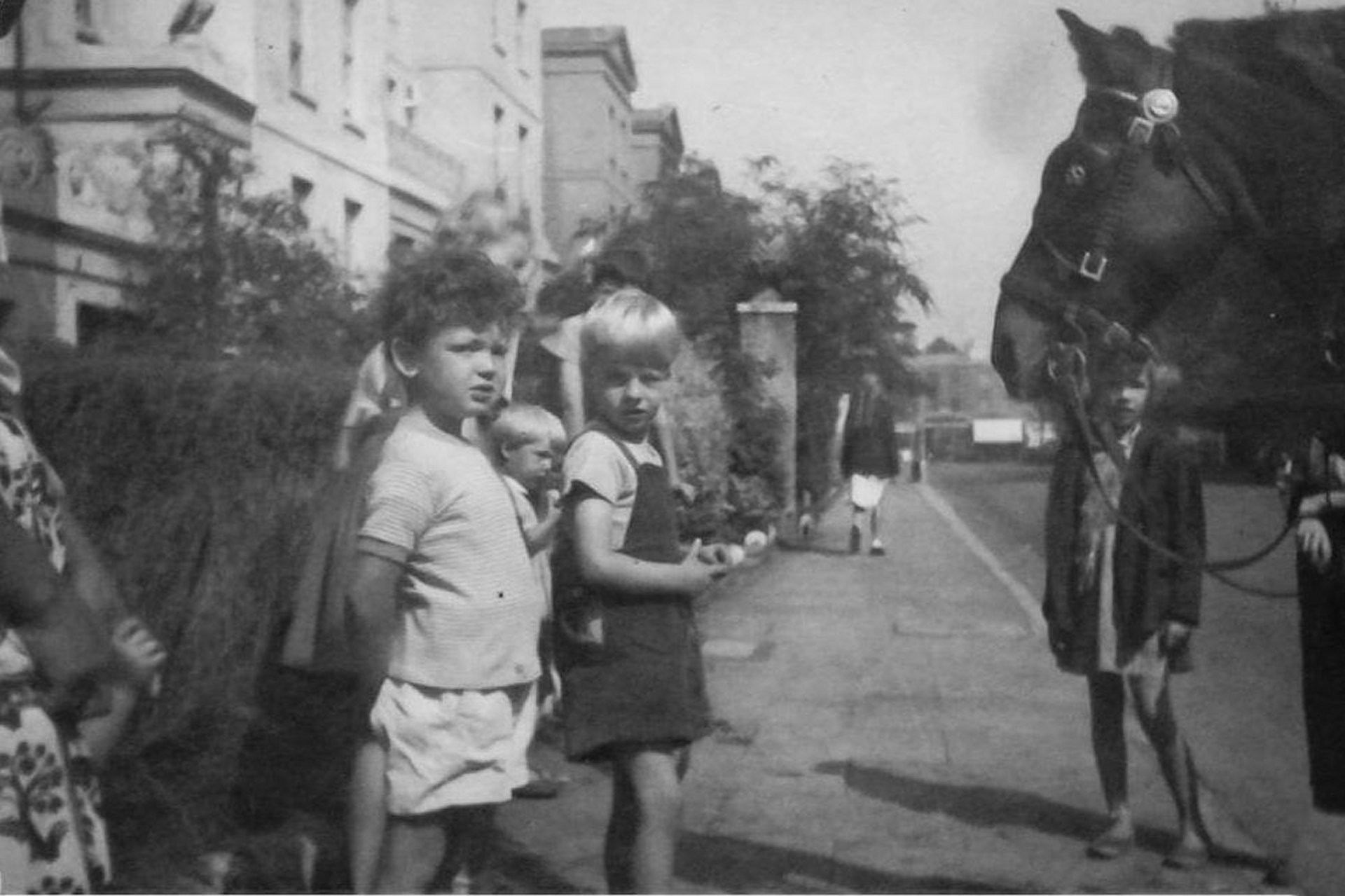
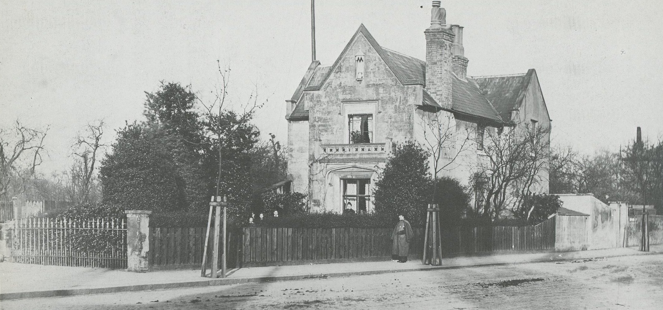
The village spread very little between the mid 18th and late 19th centuries. By 1801, with 1,023 inhabitants in 172 houses, it was less populous than Turnham Green, which by 1839 had the greater number of inns. Chiswick Mall contained a few tall trees on a grassy verge between the road and the river in 1827. Its houses retained large back gardens in the 1860s, when they also had their existing plots along the riverside verge. There was still open country, owned by the duke of Devonshire, west of the churchyard, besides the estate of the Prebend manor, including Home field, to the north. More houses stood at the south end of Hogarth Lane, beyond the village, and in Burlington Lane the Cedars, from c. 1863 the home of the landscape painter Henry Dawson (1811-78), faced Corney Lodge at the end of Powell’s Walk. Changes in the village itself arose mainly from industry: the Griffin brewery had expanded beside Chiswick Lane, the Lamb brewery had grown up off Church Street, and the cottages below the church were about to make way for the workshops of Thornycroft & Co., the shipbuilders.
The late 19th century saw the village joined by housing both to the suburbs along the high road and to the western districts of Hammersmith. Its declining importance as a centre of parish life, already foreshadowed by the opening of churches and schools at Turnham Green and Chiswick New Town, was accelerated by its remoteness from the railways and by the rise of new suburbs, with their own services. Old Chiswick thus became a residential backwater, varied by some thriving industry. It lost its most ancient buildings, with the demolition of College House and the reconstruction of the church, but expensive houses were still put up in Chiswick Mall.
On 10 May 1830 the 16th Company of the newly formed Metropolitan Police came into existence when men of Kensington or ’T’ Division started their presence in Chiswick and Brentford. Brentford was the western boundary of the Metropolitan Police District for the next decade.
Although rural in nature Chiswick and Brentford still suffered with traffic congestion. No fewer than 50 stagecoaches passed though the towns daily en route to the southwest.
The construction of the London and South Western Railway brought further development to the area when a line was opened from Waterloo with stations at Chiswick, Kew Bridge, and Brentford. In January 1869 the company opened stations at Bedford Park (now Turnham Green) and Brentford Road (now Gunnersbury). The District line opened in July 1879 with a new station at Acton Green (now Chiswick Park).