John Street, WC1N

Road in/near Bloomsbury, existing between the 1760s and now.

 HOME  ·  ARTICLE  ·  MAPS  ·  STREETS  ·  BLOG  ·  CONTACT US 
(51.52252 -0.11566, 51.522 -0.115) 
MAP YEAR:175018001810182018301860190019502024Show map without markers
Use the control in the top right of the map above to view this area on another historic map
 
Road · * · WC1N ·
December
31
2022
John Street was named for John Blagrave, carpenter to the Doughty family.

John Street, located in the southeast of Bloomsbury, originally ran north from King’s Road to Little James Street. Its upper west side was developed by 1760, with houses numbered 34-36 surviving from this earliest phase. The rest was gradually completed around 1800. Horwood’s maps show the street extending north to connect with Doughty Street by the early 1800s, with a full set of houses between Little James Street and Henry Street (now Upper John Street) by 1819.

Horwood’s maps show consecutive numbering from south to north on the east side (2 to 10) and north to south on the west side (10 to 18), reflecting its planned upmarket development for the wealthy. In 1802, poet Winthrop Mackworth Praed was born at No. 35, home of his parents William Mackworth Praed and Elizabeth Winthrop.

In the Victorian era, the fine Georgian houses were converted into offices for charities, trades and professions. No. 30 housed the Ladies’ Charity School from 1847-1858 before it moved to Queen Square. No. 19 became the home of the Open Air Mission in 1853. Other organisations like the local library, stained glass manufacturers, and benefit societies also occupied buildings. The John Street Chapel on the street was destroyed in the Blitz during the Second World War.


Main source: UCL Bloomsbury Project
Further citations and sources


Click here to explore another London street
We now have 666 completed street histories and 46834 partial histories
Find streets or residential blocks within the M25 by clicking STREETS


CONTRIBUTIONS TO THE LOCALITY

None so far :(
LATEST LONDON-WIDE CONTRIBUTIONS TO THE PROJECT

Comment
Tony Whipple   
Added: 16 Apr 2024 21:35 GMT   

Frank Whipple Place, E14
Frank was my great-uncle, I’d often be ’babysat’ by Peggy while Nan and Dad went to the pub. Peggy was a marvel, so full of life. My Dad and Frank didn’t agree on most politics but everyone in the family is proud of him. A genuinely nice, knowledgable bloke. One of a kind.

Reply
Comment
Theresa Penney   
Added: 16 Apr 2024 18:08 GMT   

1 Whites Row
My 2 x great grandparents and his family lived here according to the 1841 census. They were Dutch Ashkenazi Jews born in Amsterdam at the beginning of the 19th century but all their children were born in Spitalfields.

Reply
Comment
Wendy    
Added: 22 Mar 2024 15:33 GMT   

Polygon Buildings
Following the demolition of the Polygon, and prior to the construction of Oakshott Court in 1974, 4 tenement type blocks of flats were built on the site at Clarendon Sq/Phoenix Rd called Polygon Buildings. These were primarily for people working for the Midland Railway and subsequently British Rail. My family lived for 5 years in Block C in the 1950s. It seems that very few photos exist of these buildings.

Reply

Steve   
Added: 19 Mar 2024 08:42 GMT   

Road construction and houses completed
New Charleville Circus road layout shown on Stanford’s Library Map Of London And Its Suburbs 1879 with access via West Hill only.

Plans showing street numbering were recorded in 1888 so we can concluded the houses in Charleville Circus were built by this date.

Source: Charleville Circus, Sydenham, London

Reply
Comment
Steve   
Added: 19 Mar 2024 08:04 GMT   

Charleville Circus, Sydenham: One Place Study (OPS)
One Place Study’s (OPS) are a recent innovation to research and record historical facts/events/people focused on a single place �’ building, street, town etc.

I have created an open access OPS of Charleville Circus on WikiTree that has over a million members across the globe working on a single family tree for everyone to enjoy, for free, forever.

Source: Charleville Circus, Sydenham, London

Reply
Comment
Charles   
Added: 8 Mar 2024 20:45 GMT   

My House
I want to know who lived in my house in the 1860’s.

Reply

NH   
Added: 7 Mar 2024 11:41 GMT   

Telephone House
Donald Hunter House, formerly Telephone House, was the BT Offices closed in 2000

Reply
Comment
Paul Cox   
Added: 5 Mar 2024 22:18 GMT   

War damage reinstatement plans of No’s 11 & 13 Aldine Street
Whilst clearing my elderly Mothers house of general detritus, I’ve come across original plans (one on acetate) of No’s 11 & 13 Aldine Street. Might they be of interest or should I just dispose of them? There are 4 copies seemingly from the one single acetate example. Seems a shame to just junk them as the level of detail is exquisite. No worries if of no interest, but thought I’d put it out there.

Reply


LOCAL PHOTOS
Click here to see map view of nearby Creative Commons images
Click here to see Creative Commons images near to this postcode
Click here to see Creative Commons images tagged with this road (if applicable)
Bow Street on the Monopoly board
TUM image id: 1707139376
Licence: CC BY 2.0
Cromer Street
TUM image id: 1547917827
Licence:

In the neighbourhood...

Click an image below for a better view...
British Museum station
Credit: London Transport Museum
Licence:


Mount Pleasant Sorting Office on the north-east corner of Farringdon Road (1910) The present building is on the site of the Coldbath Fields Prison where the punishments were particularly cruel in that they were not only long and physically hard but also pointless. The pub at the back used to open at 9am to serve postal workers.
Licence:


Coldbath Square in Clerkenwell was named after a cold water well that stood originally in fields. Cold Bath was fed by a spring which was discovered by a Mr Baynes in 1697. The discoverer declared the water had great power in nervous diseases, and "equalled those of St Magnus and St Winnifred". The bathing hours were from 5am to 1pm, the charge two shillings. The old bathhouse was a building with three gables, and had a large garden with four turret summer houses. In 1811 the trustees of the London Fever Hospital bought the property for £3830, but, being driven away by the frightened inhabitants, the ground was sold for building, the bath remaining as late as 1865.
Licence:


Cromer Street
Licence:


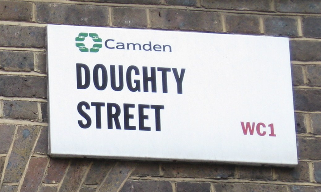
Doughty Street is a broad tree lined street in the Holborn district.
Licence:


Pluto Lamps were first demonstrated in 1897. They included an automatic machine that could dispense a gallon of hot water, or a halfpenny worth of beef tea essence, cocoa, milk, sugar, tea or coffee. Pictured here is the inauguration of the first Pluto lamp in Exmouth Street (now Exmouth Market), Clerkenwell 1899. The Pluto Lamps initiative disappeared almost as quickly as it arrived.
Credit: Islington Local History Centre
Licence:


Eyre Street Hill, Little Italy, c. 1890
Credit: Bishopsgate Institute
Licence: CC BY 2.0


Farringdon Road and the Metropolitan Railway, 1868. Looking north from Turnmill Street
Licence:


Decorators and Pencil Works, Great Queen Street, c.1910
Credit: Bishopsgate Institute
Licence: CC BY 2.0


Percy Circus from above Percy Circus was once referred to as "one of the most delightful bits of town planning in London". Percy Circus was begun in 1841 but not completed until 1853. Around the railed central garden are still fifteen of the original twenty-seven houses.
Credit: Wiki Commons
Licence:


  Contact us · Copyright policy · Privacy policy