Cadby Hall

Industrial in/near Kensington (Olympia), existing between 1899 and now.

 HOME  ·  ARTICLE  ·  MAPS  ·  STREETS  ·  BLOG  ·  CONTACT US 
(51.495 -0.2125, 51.495 -0.212) 
MAP YEAR:175018001810182018301860190019502024Show map without markers
TIP: To create your own sharable map, right click on the map
 
Industrial · * · ·
APRIL
12
2017
Cadby Hall was a major office and factory complex in Hammersmith, London which was the headquarters of pioneering catering company Joseph Lyons and Co. for almost a century.

The name originated from Charles Cadby, piano manufacturer, who purchased 8.5 acres (34,000 m2) of land along the High Road (today named Hammersmith Road) in 1874. The location had formerly been known as the Croften Estate. Cadby allocated 1.5 acres (6,100 m2) on the site for his new piano factory and showrooms while the remaining 7 acres (28,000 m2) were set aside for smaller building plots.

Cadby Hall itself was designed by Lewis Henry Isaacs and constructed using Portland stone and red Fareham bricks, with terracotta panelling above the first floor windows, and carved portraits of famous composers. Reliefs on the sides of the entrance doorway depicted scenes celebrating music and poetry. Cadby called the building the Cadby & Company Pianoforte Manufactory.

The arrangement of buildings in the complex was designed primarily to prevent the spread of fire by confining it to one building should such an incident occur.

Cadby lived for a time in what is now known as Keats House, previously owned by the poet John Keats in Hampstead. When Cadby died on 22 October 1884, the factory and all stock were sold, and subsequently a variety of businesses occupied the site between 1886 and 1893, including Kensington Co-operative Stores and the Schweppes Mineral Water Works.

By 1899, the fledgling J. Lyons company had purchased property near Cadby Hall at No. 62 Hammersmith Road, and when they subsequently took over the Hall complex itself they retained the name, although the official address of the Cadby Hall complex became 66 Hammersmith Road. In time it became one of the largest food factories in the United Kingdom, growing to cover an area of more than 13 acres.

As the Lyons catering business expanded, the factory complex grew outwards from the central point of the original Cadby Hall, spreading in all directions but chiefly east and west along the Hammersmith Road, with new blocks being added as new areas of production were launched, including tea, baked goods, meat and ice cream. As part of this expansion, the company purchased the St Mary’s College campus that adjoined Cadby Hall in 1922 and began using the land and property when the college moved to Strawberry Hill in 1925.

Blocks were given a letter designation, with A Block being the original piano manufacturing area, which was converted into bakeries. Subsequent blocks were added to the site, and as time and production moved on throughout the 20th century, old blocks would be renovated or demolished and new ones built in their place, although the original Cadby Hall building (A Block) remained largely intact right through until the demolition of the entire complex in 1983, by which time it had become J Block.

At the peak of the Lyons operations, the entire stretch of land along the Hammersmith Road between Blythe Road and Brook Green became one vast manufacturing enclosure with over 30,000 staff working 24 hours a day, 365 days a year.

The name of Cadby Hall became so synonymous with the company that the three later overseas J. Lyons & Co. complexes in Toronto, Canada; Natal, South Africa, and Salisbury, Rhodesia (today Harare, Zimbabwe) were also named Cadby Hall.

The original Cadby Hall site in Hammersmith also earned a place in history as the birthplace of the first ever business computer, LEO, which Lyons developed between 1949-1951 to automate its clerical and administrative tasks.

By the late 1970s, J. Lyons & Co. began to decline as rapidly as it had expanded a century earlier, and in 1978 the company was taken over by Allied Breweries Ltd. Gradually, the Lyons infrastructure was sold off to pay for Allied’s consolidation in the drinks industry, and the Cadby Hall complex was scaled down until the site was finally cleared in June 1983.

Prior to its demolition, Cadby Hall served as a location for filming of episodes of 1970s TV action dramas The Professionals and The Sweeney.


Read the Cadby Hall entry on the Wikipedia...


Main source: Wikipedia
Further citations and sources


Click here to explore another London street
We now have 666 completed street histories and 46834 partial histories
Find streets or residential blocks within the M25 by clicking STREETS


CONTRIBUTIONS TO THE LOCALITY


Admin   
Added: 26 Aug 2022 12:17 GMT   

TV comes to Olympia
Over 7000 people queued to see the first high definition television pictures on sets at the Olympia Radio Show. The pictures were transmitted by the BBC from Alexandra Palace, introduced by Leslie Mitchell, their first announcer.

Reply

LATEST LONDON-WIDE CONTRIBUTIONS TO THE PROJECT

Comment
Tony Whipple   
Added: 16 Apr 2024 21:35 GMT   

Frank Whipple Place, E14
Frank was my great-uncle, I’d often be ’babysat’ by Peggy while Nan and Dad went to the pub. Peggy was a marvel, so full of life. My Dad and Frank didn’t agree on most politics but everyone in the family is proud of him. A genuinely nice, knowledgable bloke. One of a kind.

Reply
Comment
Theresa Penney   
Added: 16 Apr 2024 18:08 GMT   

1 Whites Row
My 2 x great grandparents and his family lived here according to the 1841 census. They were Dutch Ashkenazi Jews born in Amsterdam at the beginning of the 19th century but all their children were born in Spitalfields.

Reply
Comment
Wendy    
Added: 22 Mar 2024 15:33 GMT   

Polygon Buildings
Following the demolition of the Polygon, and prior to the construction of Oakshott Court in 1974, 4 tenement type blocks of flats were built on the site at Clarendon Sq/Phoenix Rd called Polygon Buildings. These were primarily for people working for the Midland Railway and subsequently British Rail. My family lived for 5 years in Block C in the 1950s. It seems that very few photos exist of these buildings.

Reply

Steve   
Added: 19 Mar 2024 08:42 GMT   

Road construction and houses completed
New Charleville Circus road layout shown on Stanford’s Library Map Of London And Its Suburbs 1879 with access via West Hill only.

Plans showing street numbering were recorded in 1888 so we can concluded the houses in Charleville Circus were built by this date.

Source: Charleville Circus, Sydenham, London

Reply
Comment
Steve   
Added: 19 Mar 2024 08:04 GMT   

Charleville Circus, Sydenham: One Place Study (OPS)
One Place Study’s (OPS) are a recent innovation to research and record historical facts/events/people focused on a single place �’ building, street, town etc.

I have created an open access OPS of Charleville Circus on WikiTree that has over a million members across the globe working on a single family tree for everyone to enjoy, for free, forever.

Source: Charleville Circus, Sydenham, London

Reply
Comment
Charles   
Added: 8 Mar 2024 20:45 GMT   

My House
I want to know who lived in my house in the 1860’s.

Reply

NH   
Added: 7 Mar 2024 11:41 GMT   

Telephone House
Donald Hunter House, formerly Telephone House, was the BT Offices closed in 2000

Reply
Comment
Paul Cox   
Added: 5 Mar 2024 22:18 GMT   

War damage reinstatement plans of No’s 11 & 13 Aldine Street
Whilst clearing my elderly Mothers house of general detritus, I’ve come across original plans (one on acetate) of No’s 11 & 13 Aldine Street. Might they be of interest or should I just dispose of them? There are 4 copies seemingly from the one single acetate example. Seems a shame to just junk them as the level of detail is exquisite. No worries if of no interest, but thought I’d put it out there.

Reply


LOCAL PHOTOS
Click here to see map view of nearby Creative Commons images
Click here to see Creative Commons images near to this postcode
Colet House
Credit: The Study Society
TUM image id: 1605092347
Licence: CC BY 2.0
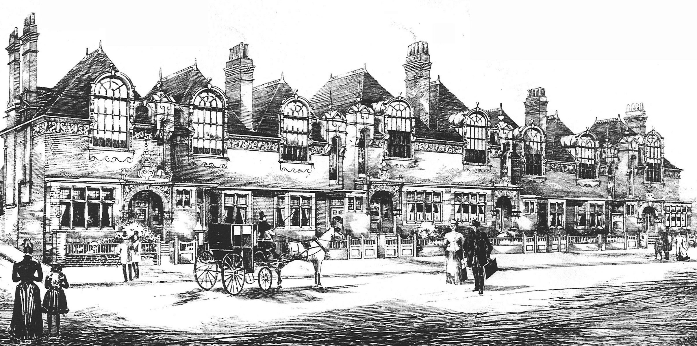
The St Paul’s Studios block was aimed at the housing of ’bachelor artists’. These unmarried men would require a separate flat for their housekeepers and their artistic endeavours would require the large windows with natural light facing Colet Gardens. And it became so. The block was occupied within a year of being built by the very clientele it had been designed for. The block looked out onto a peaceful suburban scene until the turn of the 1960s. Quiet Colet Gardens, with its milk floats and schoolchildren, fell victim to the upgraded A4 scheme whereby the Cromwell Road was extended westwards to link to the Hammersmith Flyover via this very spot. Renamed as part of the Talgarth Road, the widened route became the main road west out of London towards Heathrow. Thundering lorries put paid to the artistic charms of St Paul’s Studios. Pictures is from the St Paul’s Studios 1891 sales brochure
Credit: Building News magazine
TUM image id: 1604753931
Licence:

In the neighbourhood...

Click an image below for a better view...
The main block of Blythe House, seen from Hazlitt Road, Olympia. Blythe House was built between 1899 and 1903 as the main office of the Post Office Savings Bank, which had outgrown its previous headquarter in Queen Victoria Street. By 1902 the Bank had 12,000 branches and more than 9 million accounts.
Credit: Wiki Commons/Docben
Licence:


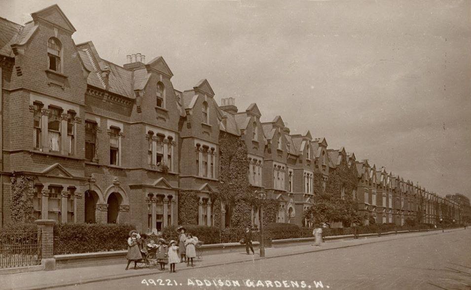
Addison Gardens, W14
Old London postcard
Licence:


Colet House
Credit: The Study Society
Licence: CC BY 2.0


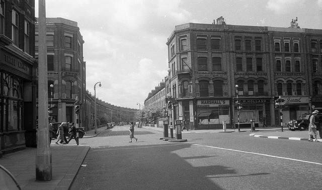
Talgarth Road’s crossroad with North End Road prior to widening (1950s)
Credit: Alisdair Macdonald
Licence: CC BY 2.0


Redlynch Court, W14 is a block on the corner of Addison Crescent and Addison Road. The original house on the corner was bombed in the Second World War and subsequently demolished.
Licence:


Latymer Court, W14 Latymer Court is a huge mansion block - at time of building in 1934 by Gordon Jeeves architects it was the largest block of its kind in Europe.
Credit: Jamie Barras
Licence: CC BY 2.0


Barons Keep is a gated community in West Kensington.
Credit: GoArt/The Underground Map
Licence:


The St Paul’s Studios block was aimed at the housing of ’bachelor artists’. These unmarried men would require a separate flat for their housekeepers and their artistic endeavours would require the large windows with natural light facing Colet Gardens. And it became so. The block was occupied within a year of being built by the very clientele it had been designed for. The block looked out onto a peaceful suburban scene until the turn of the 1960s. Quiet Colet Gardens, with its milk floats and schoolchildren, fell victim to the upgraded A4 scheme whereby the Cromwell Road was extended westwards to link to the Hammersmith Flyover via this very spot. Renamed as part of the Talgarth Road, the widened route became the main road west out of London towards Heathrow. Thundering lorries put paid to the artistic charms of St Paul’s Studios. Pictures is from the St Paul’s Studios 1891 sales brochure
Credit: Building News magazine
Licence:


Kensington Crescent (early 1900s) This was an unsuccessful development in the Warwick Gardens area. This picture depicts numbers 1-14 Kensington Crescent. Kenneth Grahame, author of ’Wind in the Willows’ lived for five years at number 5.
Old London postcard
Licence:


A view of the western section of Hammersmith Road, opposite what is now Latymer Court
Licence: CC BY 2.0


  Contact us · Copyright policy · Privacy policy