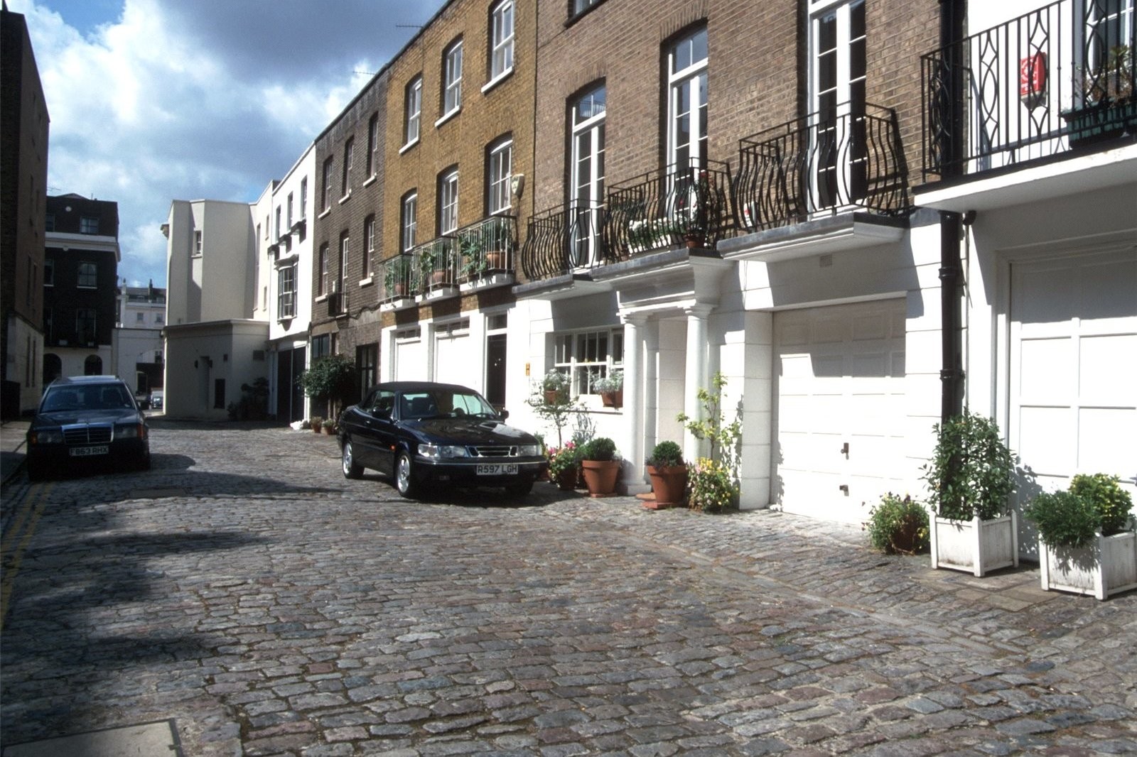
St Georges Row, SW1V

Road in/near Pimlico, existed between 1785 and 1955.

 HOME  ·  ARTICLE  ·  MAPS  ·  STREETS  ·  BLOG  ·  CONTACT US 
(51.48965 -0.14694, 51.489 -0.146) 
MAP YEAR:175018001810182018301860190019502024Show map without markers
Use the control in the top right of the map above to view this area on another historic map
 
Road · * · SW1V ·
FEBRUARY
25
2021
St Georges Row was built as Monster Row circa 1785, and renamed in 1833.

The ground between Victoria Station and the river occupies the site of the old manor of Neyte, which belonged to the Abbey of Westminster until confiscated by Henry VIII in 1536. It was a favourite residence of the Abbots, and here also lived John of Gaunt, and here John, son of Richard, Duke of York, was born in 1448. In 1592 the manor became a farm and passed with the Ebury Estate into the possession of the Grosvenor family.

The manor-house stood on the later St George’s Row, and in Pepys’ time was a popular pleasure-garden. Between the Willow Walk (Warwick Street) and the river were the Neat House Gardens, which supplied a large part of London with vegetables. The name lingered until the present century among the houses on the river-bank, and is still commemorated by Neat House Buildings in Ranelagh Road. The whole area was low-lying and swampy, and the neighbourhood of Eccleston Square was occupied by a vast osier bed.

In 1827, Cubitt raised the level of the district by depositing the earth excavated from St. Katharine’s Docks, and houses and squares were gradually completed.

The Monster tavern and garden, later the Monster pub and in the Row, was a name which was probably a corruption of monastery.The Monster was, for many years, the start of a line of horse-drawn buses known as the "Monster" buses.

St Georges Row was largely obliterated in a Luftwaffe raid on 17 April 1941. It became known to the people who lived through it as, simply, ’The Wednesday’. 148 people were killed that night in Pimlico and 564 injured. The Monster Tavern was destroyed.

The Abbots Manor Estate replaced St Georges Row in the 1950s.


Citation information: The Fascination of London: Belgravia and Pimlico – The Und
Further citations and sources


Click here to explore another London street
We now have 666 completed street histories and 46834 partial histories
Find streets or residential blocks within the M25 by clicking STREETS


CONTRIBUTIONS TO THE LOCALITY

None so far :(
LATEST LONDON-WIDE CONTRIBUTIONS TO THE PROJECT

Comment
Tony Whipple   
Added: 16 Apr 2024 21:35 GMT   

Frank Whipple Place, E14
Frank was my great-uncle, I’d often be ’babysat’ by Peggy while Nan and Dad went to the pub. Peggy was a marvel, so full of life. My Dad and Frank didn’t agree on most politics but everyone in the family is proud of him. A genuinely nice, knowledgable bloke. One of a kind.

Reply
Comment
Theresa Penney   
Added: 16 Apr 2024 18:08 GMT   

1 Whites Row
My 2 x great grandparents and his family lived here according to the 1841 census. They were Dutch Ashkenazi Jews born in Amsterdam at the beginning of the 19th century but all their children were born in Spitalfields.

Reply
Comment
Wendy    
Added: 22 Mar 2024 15:33 GMT   

Polygon Buildings
Following the demolition of the Polygon, and prior to the construction of Oakshott Court in 1974, 4 tenement type blocks of flats were built on the site at Clarendon Sq/Phoenix Rd called Polygon Buildings. These were primarily for people working for the Midland Railway and subsequently British Rail. My family lived for 5 years in Block C in the 1950s. It seems that very few photos exist of these buildings.

Reply

Steve   
Added: 19 Mar 2024 08:42 GMT   

Road construction and houses completed
New Charleville Circus road layout shown on Stanford’s Library Map Of London And Its Suburbs 1879 with access via West Hill only.

Plans showing street numbering were recorded in 1888 so we can concluded the houses in Charleville Circus were built by this date.

Source: Charleville Circus, Sydenham, London

Reply
Comment
Steve   
Added: 19 Mar 2024 08:04 GMT   

Charleville Circus, Sydenham: One Place Study (OPS)
One Place Study’s (OPS) are a recent innovation to research and record historical facts/events/people focused on a single place �’ building, street, town etc.

I have created an open access OPS of Charleville Circus on WikiTree that has over a million members across the globe working on a single family tree for everyone to enjoy, for free, forever.

Source: Charleville Circus, Sydenham, London

Reply
Comment
Charles   
Added: 8 Mar 2024 20:45 GMT   

My House
I want to know who lived in my house in the 1860’s.

Reply

NH   
Added: 7 Mar 2024 11:41 GMT   

Telephone House
Donald Hunter House, formerly Telephone House, was the BT Offices closed in 2000

Reply
Comment
Paul Cox   
Added: 5 Mar 2024 22:18 GMT   

War damage reinstatement plans of No’s 11 & 13 Aldine Street
Whilst clearing my elderly Mothers house of general detritus, I’ve come across original plans (one on acetate) of No’s 11 & 13 Aldine Street. Might they be of interest or should I just dispose of them? There are 4 copies seemingly from the one single acetate example. Seems a shame to just junk them as the level of detail is exquisite. No worries if of no interest, but thought I’d put it out there.

Reply


LOCAL PHOTOS
Click here to see map view of nearby Creative Commons images
Click here to see Creative Commons images near to this postcode
Click here to see Creative Commons images tagged with this road (if applicable)
The 52 bus
TUM image id: 1556876554
Licence:
Boscobel Oaks, 1804
TUM image id: 1487173198
Licence: CC BY 2.0
Lowndes Street, c. 1905.
TUM image id: 1483984242
Licence: CC BY 2.0

In the neighbourhood...

Click an image below for a better view...
Boscobel Oaks, 1804
Licence: CC BY 2.0


Eaton Square
Credit: GoArt/The Underground Map
Licence: CC BY 2.0


Ebury Square, c. 1906 Ebury Square is Belgravia’s smallest and oldest square, evolving around in 1820, out of Avery Green situated beside Avery Farm. The farm had evolved from the local estate, "Eia" which was mentioned in the Domesday Book. In the 16th century Ebury Farm covered 430 acres and its farmhouse stood where Victoria coach station is now. The estate was regularly leased by the Crown until James I sold the freehold in 1623. Hugh Audley purchased the manor and it descended in 1666 to his grand-niece Mary Davies. Eleven years later Mary married Sir Thomas Grosvenor of Eaton in Cheshire. While she went mad and he died young, the Grosvenor family profitably developed the land.
Licence:


Albert Bridge connects Chelsea on the north bank to Battersea on the south bank. It opened in 1873.
Credit: The Underground Map
Licence:


The Plumbers Arms at 14 Lower Belgrave Street. This pub became briefly famous in 1974 as the place where Lady Lucan burst in after finding the family nanny dead.
Credit: Wiki Commons/oxyman
Licence:


Boscobel Place
Licence: CC BY 2.0


Antrobus Street sign
Licence:


Orange Square
Credit: GoArt/The Underground Map
Licence: CC BY 2.0


Rush Hour, Victoria Station (1960) Bob Collins’s wonderfully dynamic, impressionistic image. It’s somehow reassuring to know that overcrowding in London is the same as it ever was
Credit: Bob Collins/Museum of London
Licence: CC BY 2.0


Newsagent stand, Victoria (1896) The ’Illustrated London News’ at the upper right mentions an upcoming "Royal Visit To Blenheim" - a visit that occurred on 28 November 1896. This helps us date this photo quite precisely.
Licence: CC BY 2.0


  Contact us · Copyright policy · Privacy policy