New Local Government Network

Agricultural Estate in/near Kensington, existed between 1593 and the 1860s.

 HOME  ·  ARTICLE  ·  MAPS  ·  STREETS  ·  BLOG  ·  CONTACT US 
(51.49553 -0.18846, 51.495 -0.188) 
MAP YEAR:175018001810182018301860190019502024Show map without markers
TIP: To create your own sharable map, right click on the map
 
Agricultural Estate · * · SW7 ·
August
5
2017
Nokes Estate was an agricultural estate in the Earl’s Court area, formerly known as Wattsfield.

Since at least the sixteenth century this area, reckoned as seventeen but in fact nearer eighteen and a quarter acres, had been known as Wattsfield.

Essentially, it included part of Earls Court Lane (now Earls Court Road) and Barrow’s Walk (now Marloes Road) and contained an orchard and several fields on which Abingdon Villas, Scarsdale Villas and neighbouring roads were later built .

In 1593 it was owned by Robert Fenn and remained in that family until Sir Robert Fenn sold it, with its advantage of a westward abutment on Earl’s Court Lane, to William Arnold in 1652. The Arnolds kept it until 1673, when it was bought by John Greene, and it remained with representatives of the Greene family until at least 1755.

Rocque’s mid-century map shows Barrows Walk bounding its eastern side, on the present line of Marloes Road.

By 1810 the owner was Samuel Hutchins, who in that year bought the enfranchisement from Lord Kensington for £1,125. It was at that time divided into four closes, as is shown on Starling’s map of 1822, where the western half appears as one orchard and the eastern half as three closes, seemingly of pasture. As well as Earl’s Court Lane and the former Barrow’s Walk to west and east, Starling shows on the south side of Wattsfield the eastern half of what is now Stratford Road as a cart-track to the south-east corner of the orchard. In 1843 all four parts were described as ‘market garden’, and are so shown on Daw’s map of 1846.

After Samuel Hutchins’s death in 1844 his widow had had the hedges grubbed up and all thrown into one. Whether or not the change hints at thoughts of a building enterprise (although 1846 was not to be propitious for that in London), a tenancy was given to the Atwood family of market gardeners and it was four years later, with building activity in London on the increase, that the land was turned over to bricks and mortar.

Some time shortly before August 1850 a William Nokes negotiated to buy Wattsfield from Samuel Hutchins’s widow Sarah and her trustee.

Who and what he was is not known except that he was aged about 58, Essex-born and (it would seem) closely related to the Nokes family that was prominent as farmers, millers and Congregationalists at Upminster, where his sons James Wright Nokes and George Nokes had been born.

He was already a debtor, probably for some £2,709, of the London and County Bank, to whom he proposed the loan to him of the purchase price by rather puzzling means that purported at once to secure the loan and liquidate his existing indebtedness. The Bank obtained two surveyors’ reports on the land, and agreed to advance £11,000. It was lent, however, not to William Nokes but to his son George, aged about twenty-five, with whom the agreement with the Hutchinses was evidently concluded.

George Nokes’s elder brother James Wright Nokes, who came to share the family’s interest in the property, was a timber merchant, and by 1856 George Nokes also had a timber merchant’s business in St. Pancras: in legal instruments he called himself builder, brickmaker or gentleman.

From 1853 to 1859 he seems to have lived at Abingdon House, just off this estate, with his father and brother.

Development was carried out by his son, George Nokes, and also to a lesser extent, James Wright Nokes.


Licence: Creative Commons Attribution-ShareAlike Licence


Click here to explore another London street
We now have 666 completed street histories and 46834 partial histories
Find streets or residential blocks within the M25 by clicking STREETS


CONTRIBUTIONS TO THE LOCALITY

None so far :(
LATEST LONDON-WIDE CONTRIBUTIONS TO THE PROJECT

Comment
Tony Whipple   
Added: 16 Apr 2024 21:35 GMT   

Frank Whipple Place, E14
Frank was my great-uncle, I’d often be ’babysat’ by Peggy while Nan and Dad went to the pub. Peggy was a marvel, so full of life. My Dad and Frank didn’t agree on most politics but everyone in the family is proud of him. A genuinely nice, knowledgable bloke. One of a kind.

Reply
Comment
Theresa Penney   
Added: 16 Apr 2024 18:08 GMT   

1 Whites Row
My 2 x great grandparents and his family lived here according to the 1841 census. They were Dutch Ashkenazi Jews born in Amsterdam at the beginning of the 19th century but all their children were born in Spitalfields.

Reply
Comment
Wendy    
Added: 22 Mar 2024 15:33 GMT   

Polygon Buildings
Following the demolition of the Polygon, and prior to the construction of Oakshott Court in 1974, 4 tenement type blocks of flats were built on the site at Clarendon Sq/Phoenix Rd called Polygon Buildings. These were primarily for people working for the Midland Railway and subsequently British Rail. My family lived for 5 years in Block C in the 1950s. It seems that very few photos exist of these buildings.

Reply

Steve   
Added: 19 Mar 2024 08:42 GMT   

Road construction and houses completed
New Charleville Circus road layout shown on Stanford’s Library Map Of London And Its Suburbs 1879 with access via West Hill only.

Plans showing street numbering were recorded in 1888 so we can concluded the houses in Charleville Circus were built by this date.

Source: Charleville Circus, Sydenham, London

Reply
Comment
Steve   
Added: 19 Mar 2024 08:04 GMT   

Charleville Circus, Sydenham: One Place Study (OPS)
One Place Study’s (OPS) are a recent innovation to research and record historical facts/events/people focused on a single place �’ building, street, town etc.

I have created an open access OPS of Charleville Circus on WikiTree that has over a million members across the globe working on a single family tree for everyone to enjoy, for free, forever.

Source: Charleville Circus, Sydenham, London

Reply
Comment
Charles   
Added: 8 Mar 2024 20:45 GMT   

My House
I want to know who lived in my house in the 1860’s.

Reply

NH   
Added: 7 Mar 2024 11:41 GMT   

Telephone House
Donald Hunter House, formerly Telephone House, was the BT Offices closed in 2000

Reply
Comment
Paul Cox   
Added: 5 Mar 2024 22:18 GMT   

War damage reinstatement plans of No’s 11 & 13 Aldine Street
Whilst clearing my elderly Mothers house of general detritus, I’ve come across original plans (one on acetate) of No’s 11 & 13 Aldine Street. Might they be of interest or should I just dispose of them? There are 4 copies seemingly from the one single acetate example. Seems a shame to just junk them as the level of detail is exquisite. No worries if of no interest, but thought I’d put it out there.

Reply


LOCAL PHOTOS
Click here to see map view of nearby Creative Commons images
Click here to see Creative Commons images near to this postcode
Abingdon Arms Pub, Abingdon Road.
TUM image id: 1489943648
Licence: CC BY 2.0
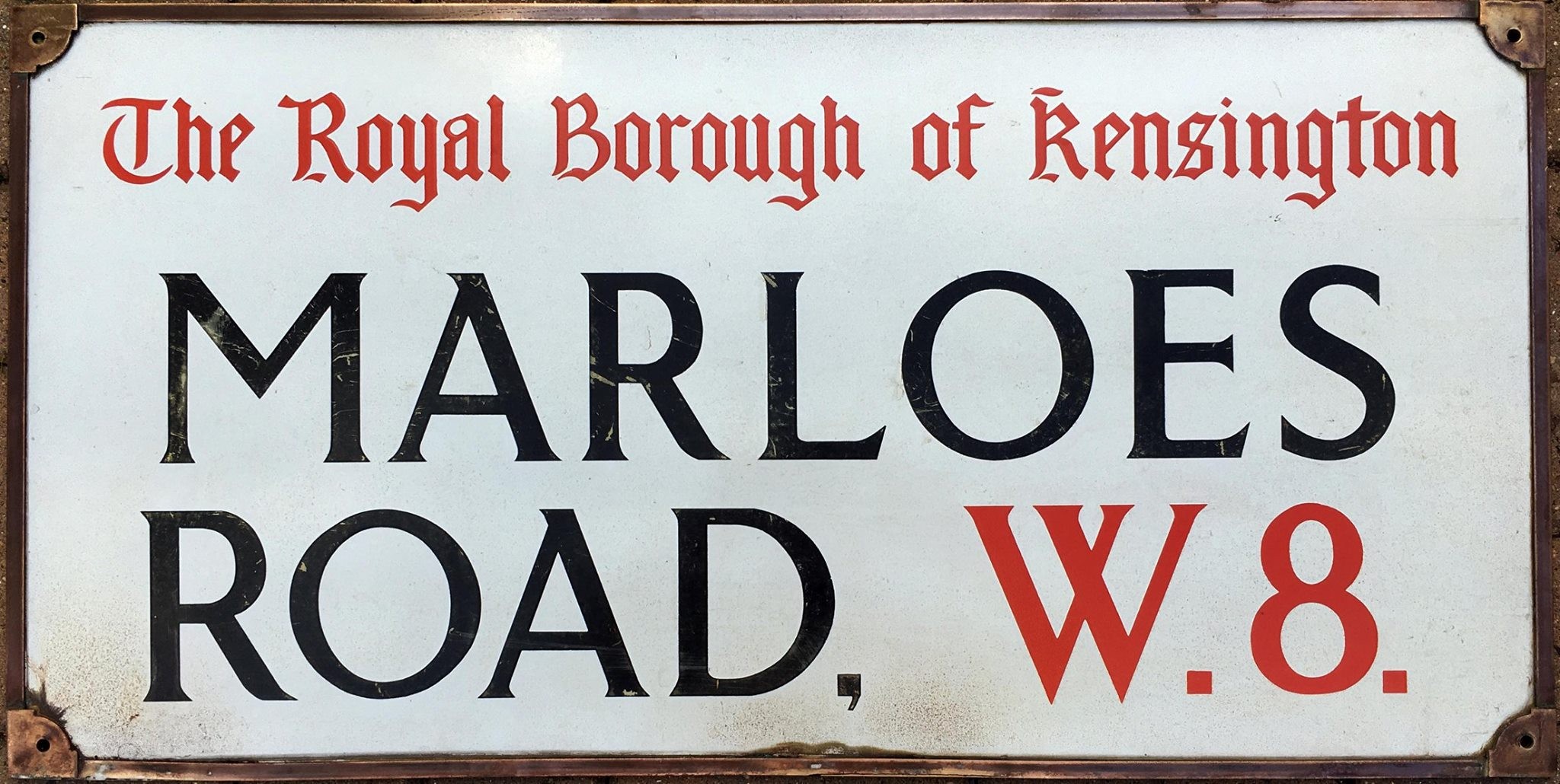
Marloes Road, W8
TUM image id: 1530121229
Licence:

In the neighbourhood...

Click an image below for a better view...
Allen Street
Credit: GoArt/The Underground Map
Licence: CC BY 2.0


Springtime, Earl’s Court
Credit: IG/MrLondon
Licence:


Kenway Road (1970)
Credit: British History Online
Licence:


Possibly the most Instagramable mews in London, leafy Kynance Mews is hidden away in South Kensington, not so far from Gloucester Road station.
Credit: IG/withinlondon
Licence:


Marloes Road, W8
Licence:


St Mark’s Coptic Orthodox Church, Allen Street (2008) Seen from the northwest at the junction with Scarsdale Villas
Credit: Wiki Commons/R Sones
Licence:


St Mary Abbot’s Hospital operated from 1871 to 1992. From 1846 to 1869 the site housed the Kensington Parish Workhouse
Credit: Wiki Commons
Licence: CC BY 2.0


Here is the original Earl’s Court entrance from 1871. With the coming of the Piccadilly Tube, the station moved across the road to the current one.
Licence:


Safety First, Kensington High Street
Licence:


Earl’s Court, District Line
Licence: CC BY 2.0


  Contact us · Copyright policy · Privacy policy