Old Royal Observatory Garden

Gardens in/near Greenwich Park, existing between 1675 and now.

 HOME  ·  ARTICLE  ·  MAPS  ·  STREETS  ·  BLOG  ·  CONTACT US 
(51.47745 -0.00148, 51.477 -0.001) 
MAP YEAR:175018001810182018301860190019502024Show map without markers
TIP: Show map without markers allows you to view old maps without clutter
 
Gardens · * · SE10 ·
MAY
21
2021
The Old Royal Observatory Garden was reintegrated into Greenwich Park and formally opened to the public by Queen Elizabeth II during her visit to Flamsteed House in 1960.

Originally known as the Lower Garden, this part of the Observatory grounds is now generally referred to as the Observatory Garden, though it has also been known as the Kitchen Garden, the Royal Observatory Garden, and the Astronomers’ Garden.

The Lower Garden was enclosed from Greenwich Park in four stages: two small enclosures in 1675/6 and c.1749 and two much larger ones – one in 1814, the other in 1837. The garden sits in a south-west facing semicircular hollow and until the final enclosure of 1837 was overlooked from the public areas of the Park along Blackheath Avenue.

The part of the garden which dates back to Flamsteed’s time is in the north-west corner and bounded by the retaining wall of the Upper Garden to the north, and the west wall of Flamsteed’s Garden House (the site of the later stables (now a plant room)) to the east. Today this section is neither enclosed within the garden, nor within the curtilage of the Observatory.


Main source: The Royal Observatory Greenwich - where east meets west: The Royal Observatory, Greenwich: Home of the Greenwich Meridian and Gr
Further citations and sources


Click here to explore another London street
We now have 666 completed street histories and 46834 partial histories
Find streets or residential blocks within the M25 by clicking STREETS


CONTRIBUTIONS TO THE LOCALITY

None so far :(
LATEST LONDON-WIDE CONTRIBUTIONS TO THE PROJECT

Comment
Tony Whipple   
Added: 16 Apr 2024 21:35 GMT   

Frank Whipple Place, E14
Frank was my great-uncle, I’d often be ’babysat’ by Peggy while Nan and Dad went to the pub. Peggy was a marvel, so full of life. My Dad and Frank didn’t agree on most politics but everyone in the family is proud of him. A genuinely nice, knowledgable bloke. One of a kind.

Reply
Comment
Theresa Penney   
Added: 16 Apr 2024 18:08 GMT   

1 Whites Row
My 2 x great grandparents and his family lived here according to the 1841 census. They were Dutch Ashkenazi Jews born in Amsterdam at the beginning of the 19th century but all their children were born in Spitalfields.

Reply
Comment
Wendy    
Added: 22 Mar 2024 15:33 GMT   

Polygon Buildings
Following the demolition of the Polygon, and prior to the construction of Oakshott Court in 1974, 4 tenement type blocks of flats were built on the site at Clarendon Sq/Phoenix Rd called Polygon Buildings. These were primarily for people working for the Midland Railway and subsequently British Rail. My family lived for 5 years in Block C in the 1950s. It seems that very few photos exist of these buildings.

Reply

Steve   
Added: 19 Mar 2024 08:42 GMT   

Road construction and houses completed
New Charleville Circus road layout shown on Stanford’s Library Map Of London And Its Suburbs 1879 with access via West Hill only.

Plans showing street numbering were recorded in 1888 so we can concluded the houses in Charleville Circus were built by this date.

Source: Charleville Circus, Sydenham, London

Reply
Comment
Steve   
Added: 19 Mar 2024 08:04 GMT   

Charleville Circus, Sydenham: One Place Study (OPS)
One Place Study’s (OPS) are a recent innovation to research and record historical facts/events/people focused on a single place �’ building, street, town etc.

I have created an open access OPS of Charleville Circus on WikiTree that has over a million members across the globe working on a single family tree for everyone to enjoy, for free, forever.

Source: Charleville Circus, Sydenham, London

Reply
Comment
Charles   
Added: 8 Mar 2024 20:45 GMT   

My House
I want to know who lived in my house in the 1860’s.

Reply

NH   
Added: 7 Mar 2024 11:41 GMT   

Telephone House
Donald Hunter House, formerly Telephone House, was the BT Offices closed in 2000

Reply
Comment
Paul Cox   
Added: 5 Mar 2024 22:18 GMT   

War damage reinstatement plans of No’s 11 & 13 Aldine Street
Whilst clearing my elderly Mothers house of general detritus, I’ve come across original plans (one on acetate) of No’s 11 & 13 Aldine Street. Might they be of interest or should I just dispose of them? There are 4 copies seemingly from the one single acetate example. Seems a shame to just junk them as the level of detail is exquisite. No worries if of no interest, but thought I’d put it out there.

Reply


LOCAL PHOTOS
Click here to see map view of nearby Creative Commons images
Click here to see Creative Commons images near to this postcode
Crooms Hill (1937)
TUM image id: 1657290361
Licence: CC BY 2.0
Gloucester Circus (1960s)
TUM image id: 1657291606
Licence: CC BY 2.0
Tram in Greenwich Church Street.
TUM image id: 1657290753
Licence: CC BY 2.0

In the neighbourhood...

Click an image below for a better view...
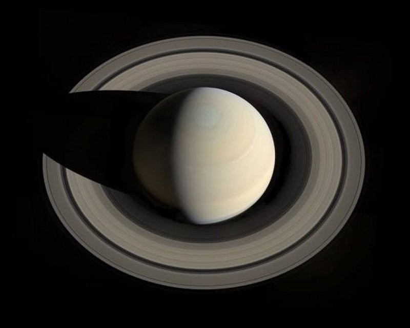
Saturn and its rings, as seen from above the planet by the Cassini spacecraft
Credit: NASA/JPL/Space Science Institute
Licence:


Expedition 44 off to the International Space Station launched on Soyuz TMA-17M from the Baikonur Cosmodrome in Kazakhstan
Credit: Roscosmos
Licence:


The establishment of a Royal Observatory in Greenwich, London was proposed in 1674 by Sir Jonas Moore who, in his role as Surveyor-General of the Ordnance, persuaded King Charles II to create the observatory, with John Flamsteed installed as its director. Royal Observatory, Greenwich (ROG) played a major role in the history of astronomy and navigation, and because the Prime Meridian passes through it, it gave its name to Greenwich Mean Time, the precursor to today’s Coordinated Universal Time (UTC). The ROG has the IAU observatory code of 000, the first in the list.
Credit: Kjetil Bjørnsrud
Licence:


The Statue of Yuri Gagarin in Greenwich, London, is a zinc statue depicting the cosmonaut wearing a spacesuit and standing on top of a globe.
Credit: Anatoly Novikov
Licence:


Star Dunes in Algeria. The image was acquired by the Advanced Spaceborne Thermal Emission and Reflection Radiometer (ASTER) on NASA’s Terra satellite on October 27, 2012. It was made from a combination of near-infrared and visible light. In this type of false-color image, sand is tan and shadows are black or gray. The blue-tinted areas are likely mineral-rich evaporites. The image is centered at 29.8°north latitude, 7.9°east longitude, near the town of Gadamis. As is common with star dunes, some of the dunes have long interlacing arms connecting to nearby dunes.
Credit: NASA/GSFC/METI/ERSDAC/JAROS/ASTER Science Team
Licence:


Crooms Hill (1937)
Licence: CC BY 2.0


Maze Hill SE10
Credit: GoArt/The Underground Map
Licence:


Arktika-M spacecraft entering high elliptical orbit after a launch of the Soyuz-2.1b carrier rocket with the Fregat upper stage on 28 February 2021. When flight tests are finished, we will have new ability to observe the Arctic region and ocean from space. Photo:
Credit: Roscosmos
Licence:


Our Solar System to scale
Credit: Robert Zicher
Licence:


The corner of Feathers Place (mid 1900s) Feathers Place is situated to the east of Greenwich town centre in an attractive area north of Greenwich Park. The photo shows where this road intersects with Park Vista. "F.C.Sharp" is long gone.
Licence:


  Contact us · Copyright policy · Privacy policy