Area photos


 HOME  ·  ABOUT  ·  ARTICLE  ·  MARKERS OFF  ·  BLOG 
(51.53912 -0.2512, 51.539 -0.251) 


LOCAL PHOTOS
Click here to see map view of nearby Creative Commons images
Click here to see Creative Commons images near to this postcode
Click here to see Creative Commons images tagged with this road (if applicable)
Buckingham Road, Harlesden
TUM image id: 1562860348
Licence: CC BY 2.0
Nicoll Road, NW10
TUM image id: 1562859621
Licence: CC BY 2.0
Wendover Road, Harlesden
TUM image id: 1562860295
Licence: CC BY 2.0
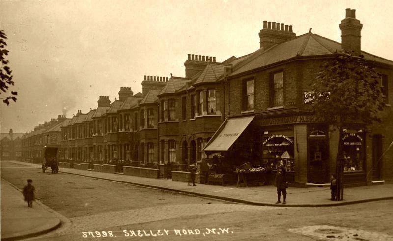
Shelley Road NW10
TUM image id: 1562858372
Licence: CC BY 2.0
Park Road, NW10
TUM image id: 1562859707
Licence: CC BY 2.0

In the neighbourhood...

Click an image below for a better view...
Buckingham Road, Harlesden
Licence: CC BY 2.0


Nicoll Road, NW10
Licence: CC BY 2.0


St Mary’s Road, Harlesden (around 1900) A police station was built in 1871 at the junction between the future St Mary’s Road and Harrow Road. St Mary’s Road laid out to its east during the 1800s.
Old London postcard
Licence:


Wendover Road, Harlesden
Licence: CC BY 2.0


Park Road, NW10
Licence: CC BY 2.0