Area photos


 HOME  ·  ARTICLE  ·  MAPS  ·  STREETS  ·  BLOG  ·  CONTACT US 
(51.51481 -0.04404, 51.514 -0.044) 


LOCAL PHOTOS
Click here to see map view of nearby Creative Commons images
Click here to see Creative Commons images near to this postcode
Click here to see Creative Commons images tagged with this road (if applicable)
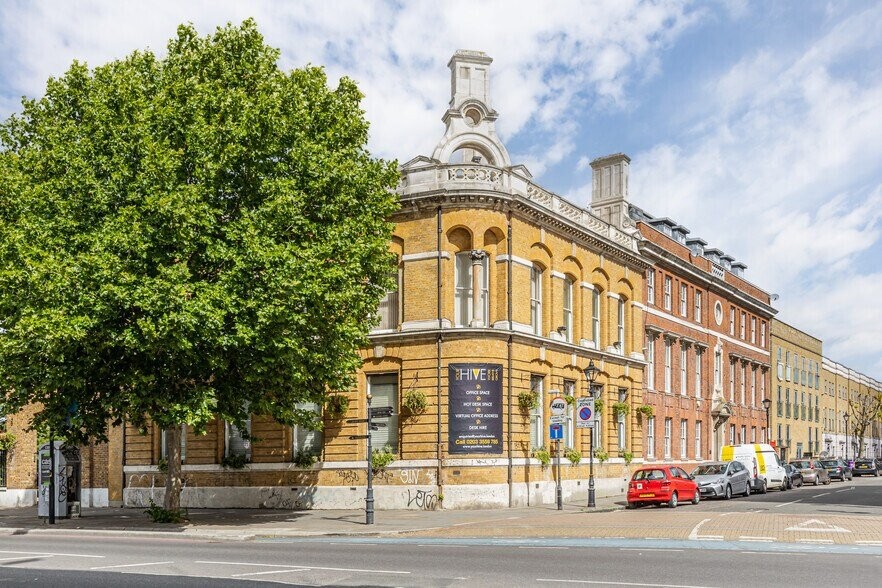
The original Black Boy pub.
TUM image id: 1530023663
Licence: CC BY 2.0

In the neighbourhood...

Click an image below for a better view...
Adams House, Mile End Road
Credit: Wiki Commons
Licence:


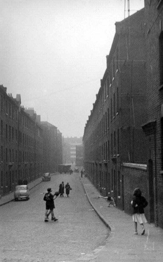
Brook Street, E1 - looking east (c. 1910) Brook Street is now renamed as part of Cable Street. The side street with the posts is Schoolhouse Lane and the building on the far right is the Friends’ Meeting House.
Credit: Vin Miles (contributor)
Licence:


Trinity Almshouses, Mile End Road, c. 1920
Credit: Bishopsgate Institute
Licence:


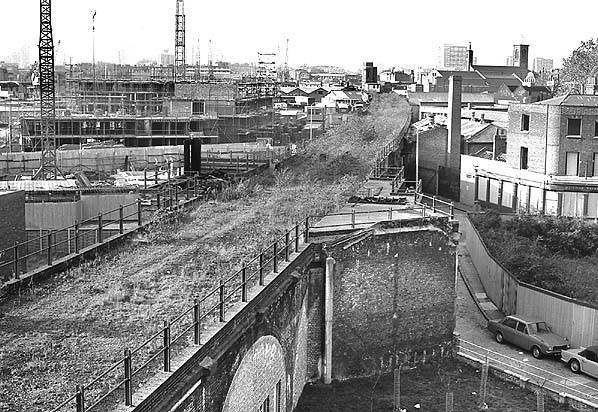
The site of Limehouse Station taken in 1975. The station opened in 1840, closed in 1926 and took on new life at part of the DLR
Licence:


Victorian-era London brickwork
Credit: Wiki Commons
Licence: CC BY 2.0


Spring-Heeled Jack, terroriser of Victorian London.
Credit: Victorian penny dreadful
Licence:


R. Passmore & Company in Limehouse. This was sitauted on the corner of Narrow Street and The Highway. Free Trade Wharf was behind.
Licence:


The foreshore of the River Thames near Ratcliff Cross Stairs, E14 (2020). Canary Wharf is in the background.
Credit: Wiki Commons/Ttocserp
Licence:


A map of London current surface waterways. Produced by www.soundsurvey.org.uk as an auditory tribute to Harry Beck’s Underground map. Sounds were collected from along London’s canals and lesser rivers. Before this promotes discussion on what’s missing, many ’lost rivers’ - Tyburn, Fleet, Effra etc. are now underground and missing from this map. Other surface rivers are situated off the edge of the map...
Credit: Sound survey
Licence:


Beer in the evening
Credit: Wiki Commons
Licence: