Ormond Road, N19
Road in/near Upper Holloway .
| Ormond Road, N19 Road in/near Upper Holloway . |
| HOME | · | ARTICLE | · | MARKERS OFF | · | STREETS | · | BLOG | · | CONTACT US |
| MAP YEAR: | 1750 | 1800 | 1810 | 1820 | 1830 | 1860 | 1900 | 1950 | 2024 | |
| Use the control in the top right of the map above to view this area on another historic map | ||||||||||
| Click here to explore another London street We now have 670 completed street histories and 46830 partial histories Find streets or residential blocks within the M25 by clicking STREETS |
| CONTRIBUTIONS TO THE LOCALITY |
  Charles Added: 8 Mar 2024 20:45 GMT | My House I want to know who lived in my house in the 1860’s. Reply |
| LATEST LONDON-WIDE CONTRIBUTIONS TO THE PROJECT |
  Roy Mathieson Added: 27 Jun 2024 16:25 GMT | St Saviours My great grandmother was born in Bowling Green Lane in 1848. The family moved from there to Earl Terrace, Bermondsey in 1849. I have never been able to locate Earl Terrace on maps. Reply |
 Added: 26 Jun 2024 13:10 GMT | Buckhurst Street, E1 Mt grandfather, Thomas Walton Ward had a musical instrument workshop in Buckhurst Street from 1934 until the street was bombed during the war. Grandfather was a partner in the musical instrument firm of R.J. Ward and Sons of Liverpool. He died in 1945 and is buried in a common grave at Abney Park Cemetery. Reply |
  Mike Dowling Added: 15 Jun 2024 15:51 GMT | Family ties (1936 - 1963) The Dowling family lived at number 13 Undercliffe Road for Nearly 26 years. Next door was the Harris family Reply |
 Evie Helen Added: 13 Jun 2024 00:03 GMT | Vickers Road The road ’Vickers Road’ is numbered rather differently to other roads in the area as it was originally built as housing for the "Vickers" arms factory in the late 1800’s and early 1900s. Most of the houses still retain the original 19th century tiling and drainage outside of the front doors. Reply |
 Paul Harris Added: 12 Jun 2024 12:54 GMT | Ellen Place, E1 My mother’s father and his family lived at 31 Ellen Place London E1 have a copy of the 1911 census showing this Reply |
 Added: 10 Jun 2024 19:31 GMT | Toll gate Close Did anyone live at Toll Gate Close, which was built in the area where the baths had been? Reply |
Charles Black Added: 24 May 2024 12:54 GMT | Middle Row, W10 Middle Row was notable for its bus garage, home of the number 7. Reply |
Added: 2 May 2024 16:14 GMT | Farm Place, W8 The previous name of Farm Place was Ernest St (no A) Reply |
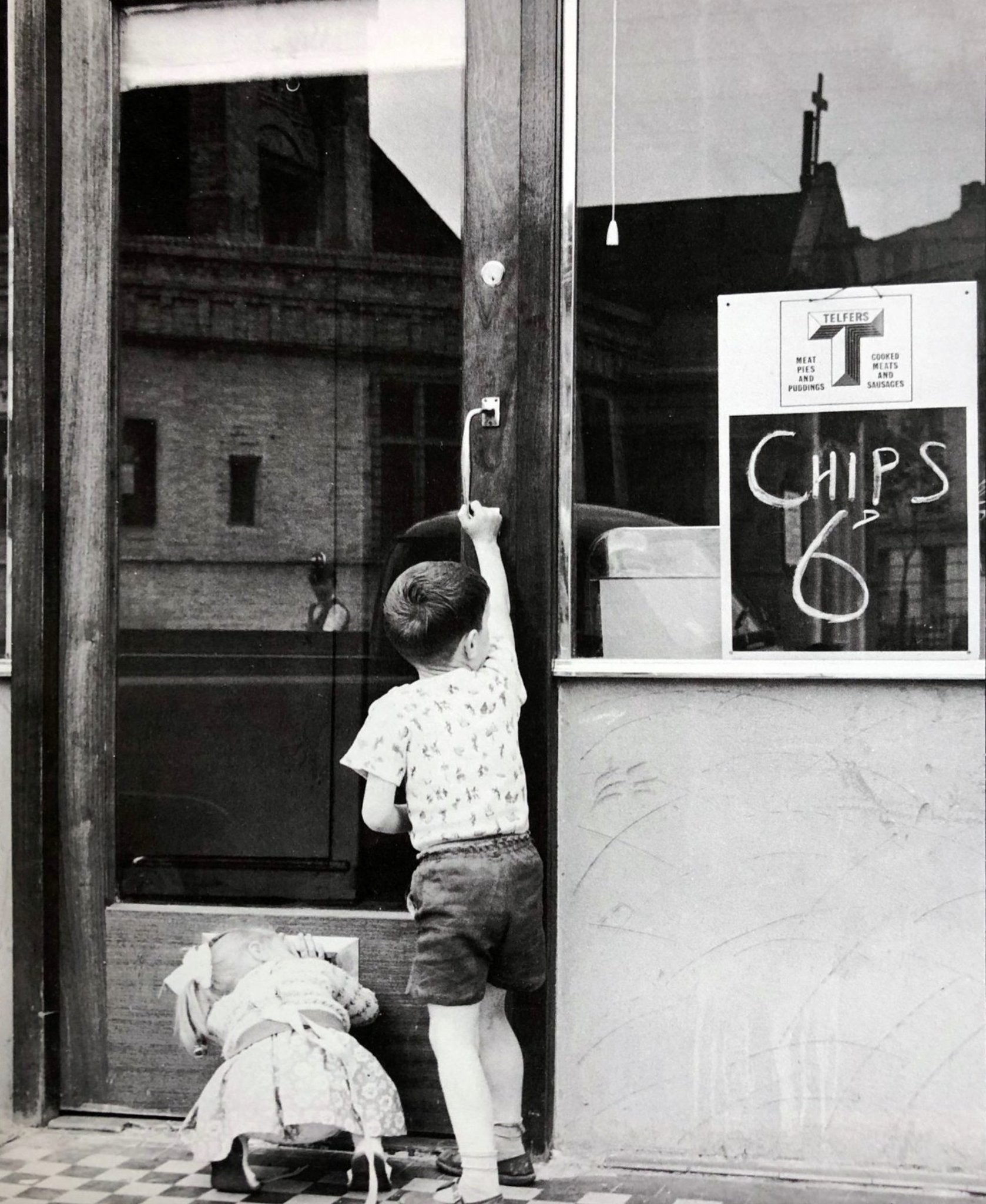
| LOCAL PHOTOS |
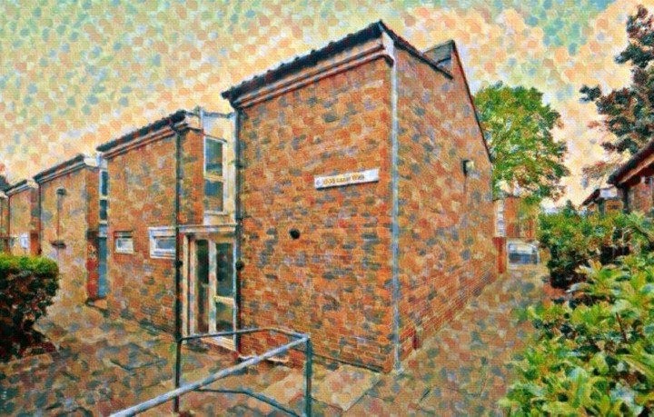
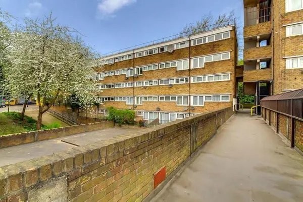 Monroe House, New Orleans Walk on the New Orleans Estate, N19 (2021) TUM image id: 1627989960 Licence: | 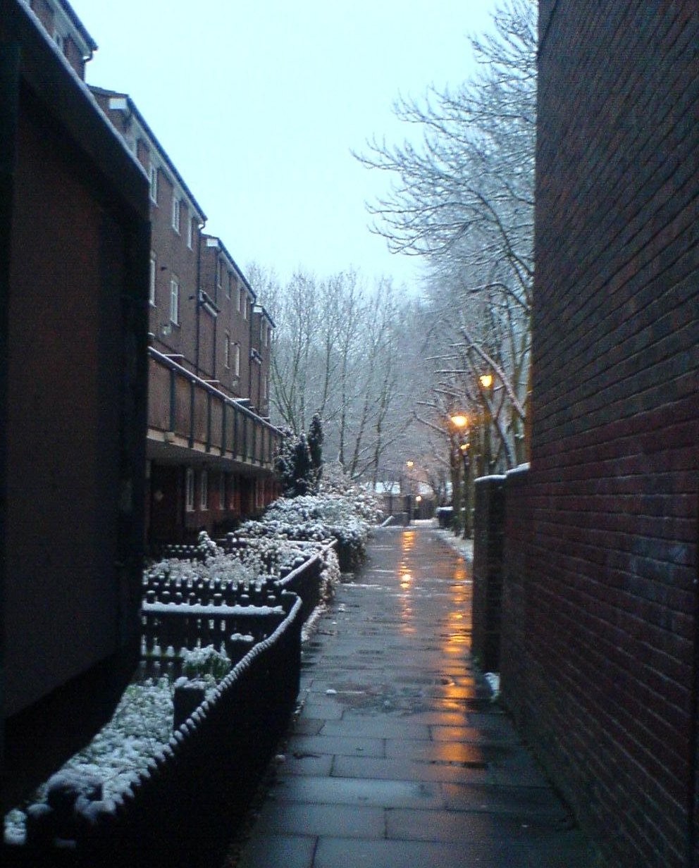 |  | 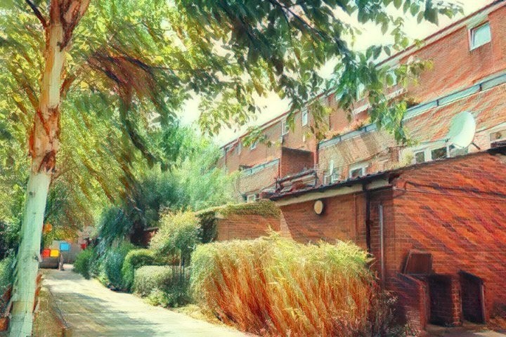 |  |
 |  |  Blossom near Tomlins Walk on the Andover Estate. Credit: Wiki Commons TUM image id: 1624546213 Licence: |  |  |
 |  |