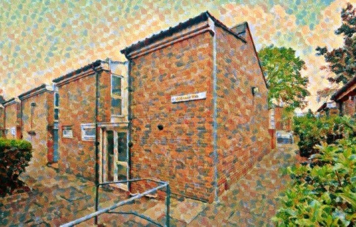
Roads Place, N4
Road in/near Upper Holloway .
| Roads Place, N4 Road in/near Upper Holloway . |
| HOME | · | ARTICLE | · | MARKERS OFF | · | STREETS | · | BLOG | · | CONTACT US |
| MAP YEAR: | 1750 | 1800 | 1810 | 1820 | 1830 | 1860 | 1900 | 1950 | 2024 | |
| Use the control in the top right of the map above to view this area on another historic map | ||||||||||
| Click here to explore another London street We now have 668 completed street histories and 46832 partial histories Find streets or residential blocks within the M25 by clicking STREETS |
| CONTRIBUTIONS TO THE LOCALITY |
  KJH Added: 7 Mar 2023 17:14 GMT | Andover Road, N7 (1939 - 1957) My aunt, Doris nee Curtis (aka Jo) and her husband John Hawkins (aka Jack) ran a small general stores at 92 Andover Road (N7). I have found details in the 1939 register but don’t know how long before that it was opened.He died in 1957. In the 1939 register he is noted as being an ARP warden for Islington warden Reply |
  KJH Added: 7 Mar 2023 23:03 GMT | Andover Road, N7 Edit: John Hawkins died 1959 (not 1957). Earliest date I have found for him at 92 Andover Road is 1935 on the Electoral Register. Reply |
| LATEST LONDON-WIDE CONTRIBUTIONS TO THE PROJECT |
 Charles Black Added: 24 May 2024 12:54 GMT | Middle Row, W10 Middle Row was notable for its bus garage, home of the number 7. Reply |
 Added: 2 May 2024 16:14 GMT | Farm Place, W8 The previous name of Farm Place was Ernest St (no A) Reply |
Tony Whipple Added: 16 Apr 2024 21:35 GMT | Frank Whipple Place, E14 Frank was my great-uncle, I’d often be ’babysat’ by Peggy while Nan and Dad went to the pub. Peggy was a marvel, so full of life. My Dad and Frank didn’t agree on most politics but everyone in the family is proud of him. A genuinely nice, knowledgable bloke. One of a kind. Reply |
 Theresa Penney Added: 16 Apr 2024 18:08 GMT | 1 Whites Row My 2 x great grandparents and his family lived here according to the 1841 census. They were Dutch Ashkenazi Jews born in Amsterdam at the beginning of the 19th century but all their children were born in Spitalfields. Reply |
Wendy Added: 22 Mar 2024 15:33 GMT | Polygon Buildings Following the demolition of the Polygon, and prior to the construction of Oakshott Court in 1974, 4 tenement type blocks of flats were built on the site at Clarendon Sq/Phoenix Rd called Polygon Buildings. These were primarily for people working for the Midland Railway and subsequently British Rail. My family lived for 5 years in Block C in the 1950s. It seems that very few photos exist of these buildings. Reply |
  Steve Added: 19 Mar 2024 08:42 GMT | Road construction and houses completed New Charleville Circus road layout shown on Stanford’s Library Map Of London And Its Suburbs 1879 with access via West Hill only. Plans showing street numbering were recorded in 1888 so we can concluded the houses in Charleville Circus were built by this date. Source: Charleville Circus, Sydenham, London Reply |
Steve Added: 19 Mar 2024 08:04 GMT | Charleville Circus, Sydenham: One Place Study (OPS) One Place Study’s (OPS) are a recent innovation to research and record historical facts/events/people focused on a single place �’ building, street, town etc. I have created an open access OPS of Charleville Circus on WikiTree that has over a million members across the globe working on a single family tree for everyone to enjoy, for free, forever. Source: Charleville Circus, Sydenham, London Reply |
Charles Added: 8 Mar 2024 20:45 GMT | My House I want to know who lived in my house in the 1860’s. Reply |
| LOCAL PHOTOS |
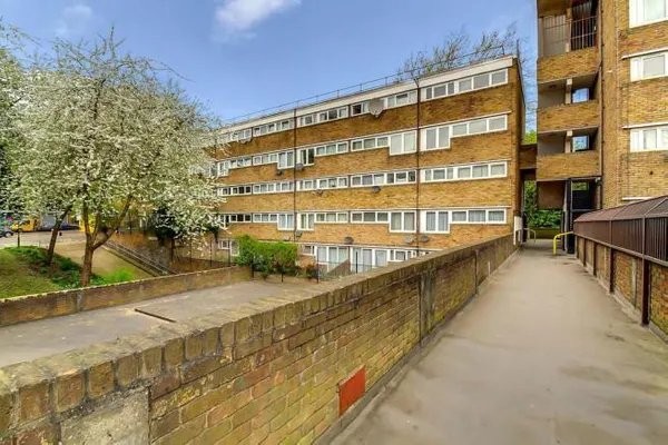 Monroe House, New Orleans Walk on the New Orleans Estate, N19 (2021) TUM image id: 1627989960 Licence: | 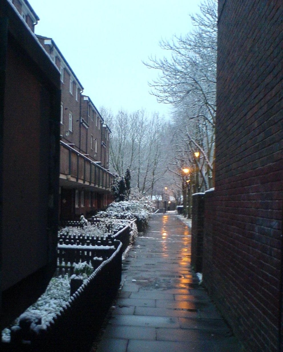 |  | 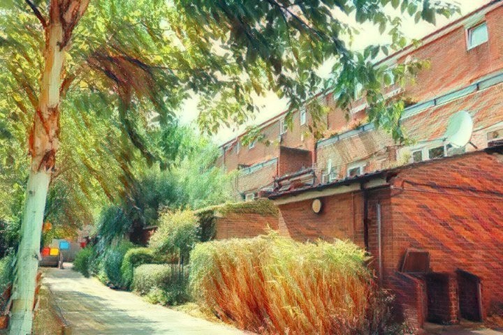 |  |
 |  |  Blossom near Tomlins Walk on the Andover Estate. Credit: Wiki Commons TUM image id: 1624546213 Licence: |  |  |
 |  |