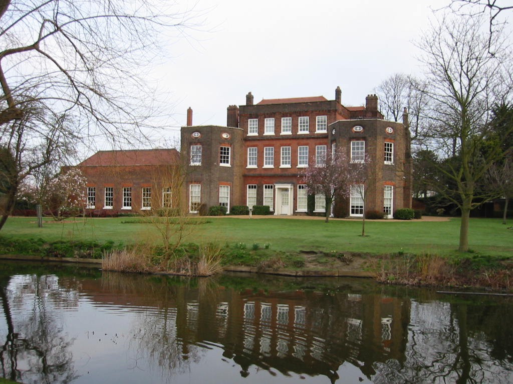
Langton Gardens

Park in/near Hornchurch, existing between 1929 and now.

 HOME  ·  ARTICLE  ·  MARKERS OFF  ·  STREETS  ·  BLOG  ·  CONTACT US 
(51.567 0.216, 51.567 0.216) 
MAP YEAR:175018001810182018301860190019502024 
TIP: If you choose a historical map, an 'opacity' control will appear top right. Use it to view the old map compared to a new map
 
Park · * · RM11 ·
FEBRUARY
27
2018
Langtons Gardens are grade II listed landscaped gardens.

Langtons Gardens are a picturesque landscaped garden with a lake, orangery, bath house and a gazebo, all dating from the end of the 18th century, when Hornchurch was rural.

The grounds were and landscaped according to plans of Humphrey Repton. He created the serpentine pond with the bathhouse and gazebo and planted horse chestnuts to frame the mid-18th century stables, to which he added an octagonal cupola. A shrubbery walk with serpentining paths was planted east of the house. A Cedar of Lebanon was planted as a central feature of the lawn. By 1805 the gardens were sufficiently advanced to be illustrated in Peacock’s Polite Repository.

Langtons was given to Hornchurch Urban District Council by Varco Williams and his daughter in 1929, under the condition that the grounds remained open to the public.
..

Main source: Wikipedia
Further citations and sources


Click here to explore another London street
We now have 668 completed street histories and 46832 partial histories
Find streets or residential blocks within the M25 by clicking STREETS

...

CONTRIBUTIONS TO THE LOCALITY

None so far :(
LATEST LONDON-WIDE CONTRIBUTIONS TO THE PROJECT

Lived here
Mike Dowling   
Added: 15 Jun 2024 15:51 GMT   

Family ties (1936 - 1963)
The Dowling family lived at number 13 Undercliffe Road for
Nearly 26 years. Next door was the Harris family

Reply
Comment
Evie Helen   
Added: 13 Jun 2024 00:03 GMT   

Vicker Road
The road ’Vickers Road’ is numbered rather differently to other roads in the area as it was originally built as housing for the "Vickers" arms factory in the late 1800’s and early 1900s. Most of the houses still retain the original 19th century tiling and drainage outside of the front doors.

Reply

Paul Harris    
Added: 12 Jun 2024 12:54 GMT   

Ellen Place, E1
My mother’s father and his family lived at 31 Ellen Place London E1 have a copy of the 1911 census showing this

Reply
Comment
   
Added: 10 Jun 2024 19:31 GMT   

Toll gate Close
Did anyone live at Toll Gate Close, which was built in the area where the baths had been?

Reply

Charles Black   
Added: 24 May 2024 12:54 GMT   

Middle Row, W10
Middle Row was notable for its bus garage, home of the number 7.

Reply
Comment
   
Added: 2 May 2024 16:14 GMT   

Farm Place, W8
The previous name of Farm Place was Ernest St (no A)

Reply
Comment
Tony Whipple   
Added: 16 Apr 2024 21:35 GMT   

Frank Whipple Place, E14
Frank was my great-uncle, I’d often be ’babysat’ by Peggy while Nan and Dad went to the pub. Peggy was a marvel, so full of life. My Dad and Frank didn’t agree on most politics but everyone in the family is proud of him. A genuinely nice, knowledgable bloke. One of a kind.

Reply
Comment
Theresa Penney   
Added: 16 Apr 2024 18:08 GMT   

1 Whites Row
My 2 x great grandparents and his family lived here according to the 1841 census. They were Dutch Ashkenazi Jews born in Amsterdam at the beginning of the 19th century but all their children were born in Spitalfields.

Reply
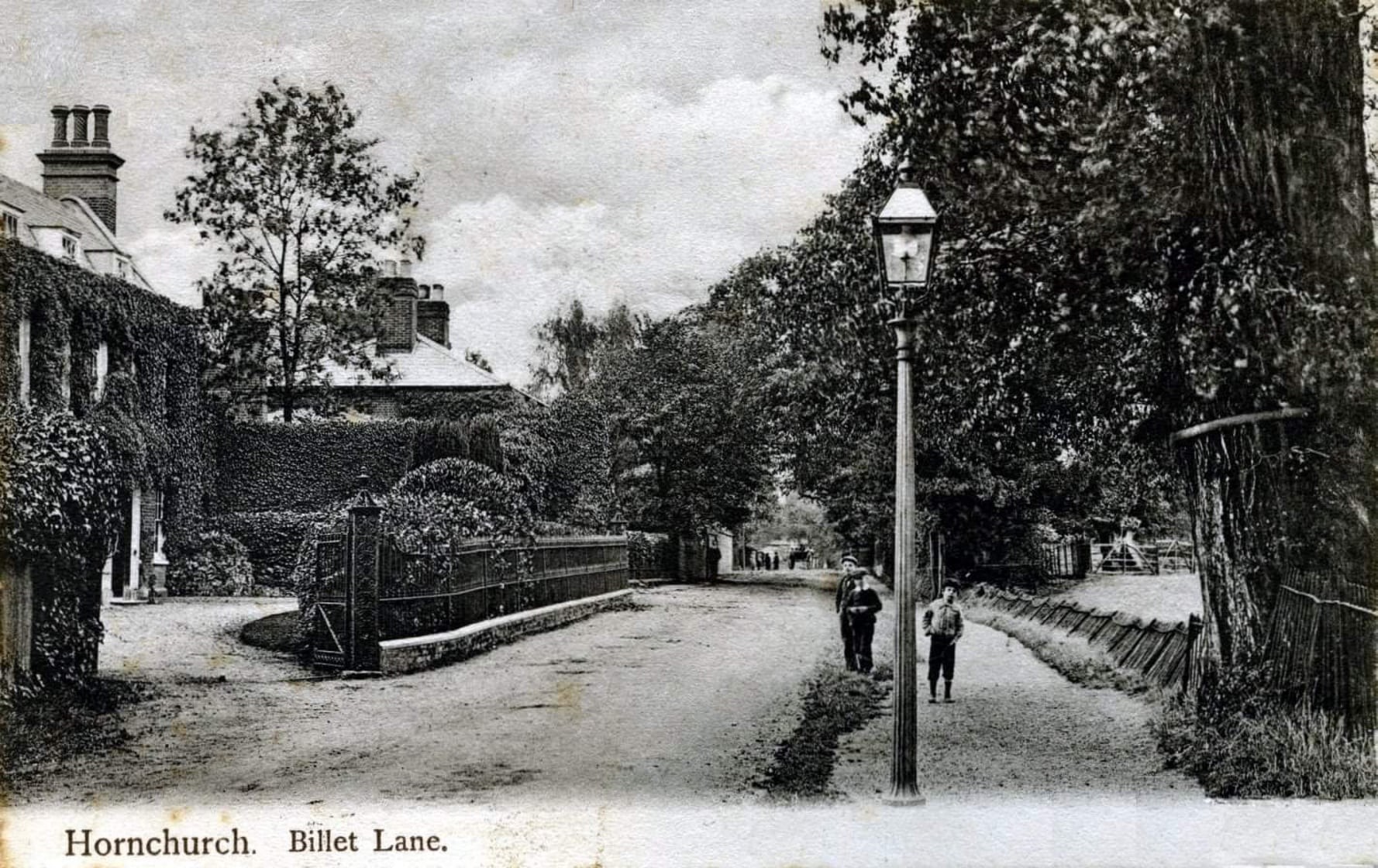
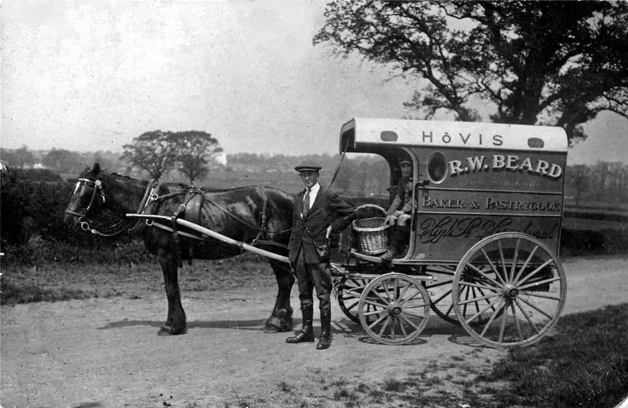
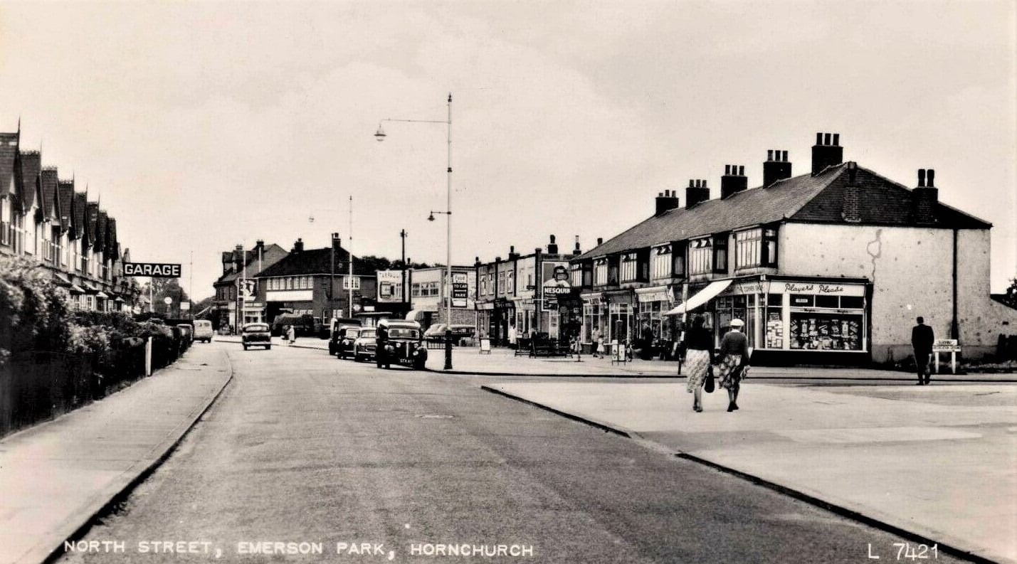


LOCAL PHOTOS
Click here to see map view of nearby Creative Commons images
Click here to see Creative Commons images near to this postcode

In the neighbourhood...

Click an image below for a better view...
Queen’s Theatre Exterior (2018)
Credit: Wiki Commons/Hackney grove
Licence: CC BY 2.0


Langtons House, Hornchurch Langtons House was built on the foundations of an older house in the early 18th century. There is a landscaped garden with a lake, orangery, bath house and a gazebo, all dating from the end of the 18th century. The grounds were landscaped according to the plans of Humphrey Repton. Langtons was given to Hornchurch Urban District Council by Varco Williams and his daughter in 1929. The building housed the Hornchurch council offices until the council was abolished in 1965 and Havering London Borough Council was created.
Credit: Wikicommons
Licence:


Billet Lane, Hornchurch (1908)
Old London postcard
Licence: CC BY 2.0


Butts Green Road, Hornchurch, c1910. Photo taken from the Slewins Lane end looking up the hill towards Hornchurch.
Old London postcard
Licence: CC BY 2.0


Bakery owner Robert Beard (1914). Beard had premises on Hornchurch High Street. He was heavily involved in local affairs - the Youth Centre opposite St Andrew’s Church was named in his honour.
Licence:


North Street, RM11 Hornchurch, with Burnway on the right and United Dairies up ahead, c1950s.
Old London postcard
Licence: CC BY 2.0


The Bull, Hornchurch High Street (c.1905) As The Bull, the modern Fatling & Ferkin pub dates to the seventeenth century. During the eighteenth and nineteenth centuries, cricket in Hornchurch was a major local event and both the Bull Inn and the White Hart hosted matches.
Licence:


  Contact us · Copyright policy · Privacy policy